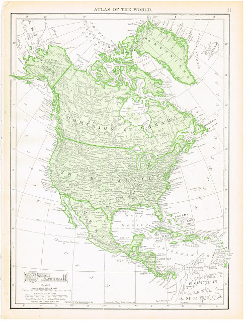
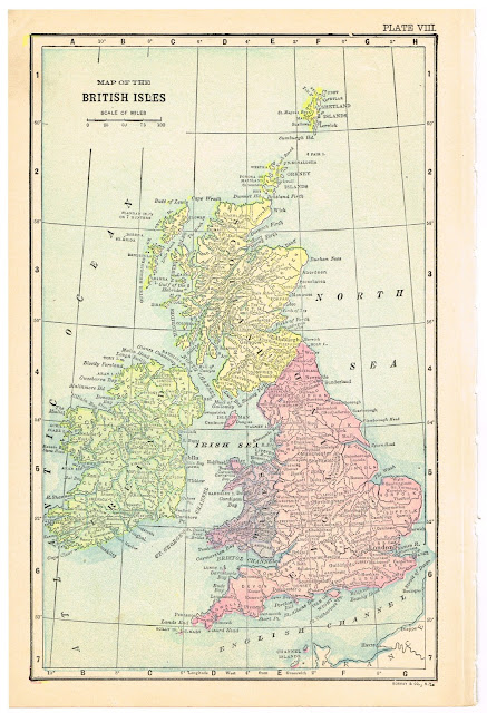
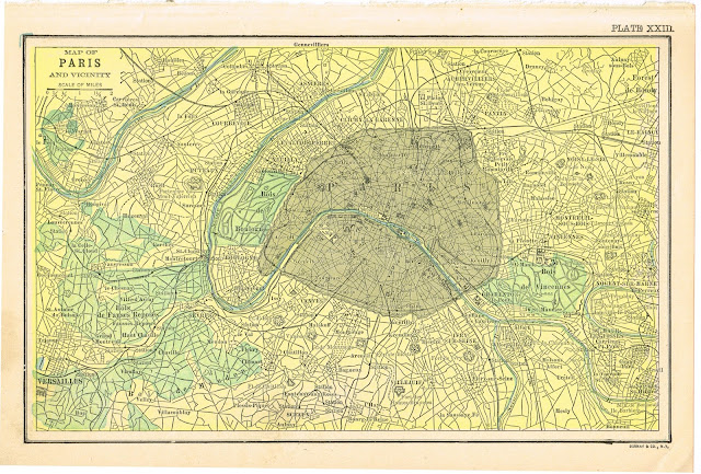
Today, I have a bunch of images to share with you. Since school will be starting again soon, I thought this would be a great time to share some of my antique maps with you. There are a few images from the late 1800’s and the rest are all maps from the early 1900’s.
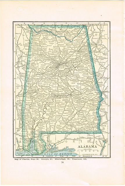
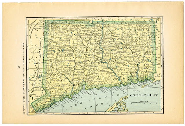
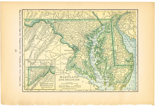
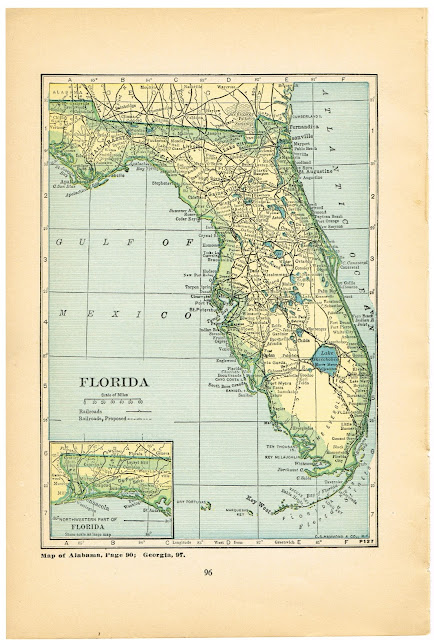
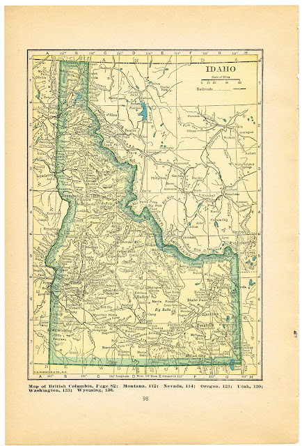
There are some world, continent, country and city maps, then I have all 50 states for you. Yes…all 50! There are a LOT of maps here to choose from, so I hope you’ll find one of a special place you love! To print them, click on the image to enlarge, then save to your computer. I recommend having them printed on a laser printer, on quality paper. I’ve been very satisfied with copies I’ve had done at Staples and you can select the quality of paper to have them printed on.
First up, I have some maps that are 100+ years old, from 1911.
Many of the maps had these labels with nice typography.
I think all of these would be really nice turned into canvas wall art.
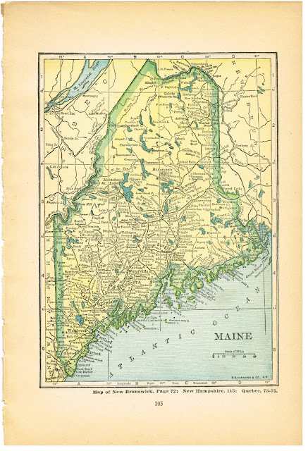
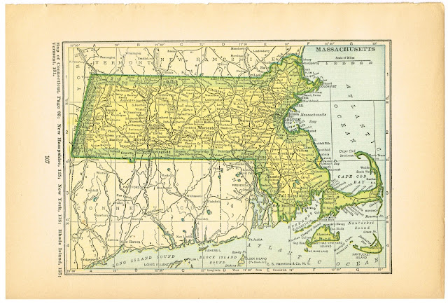
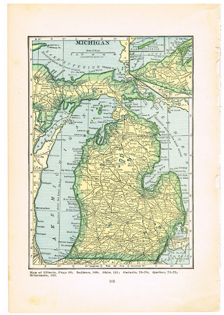
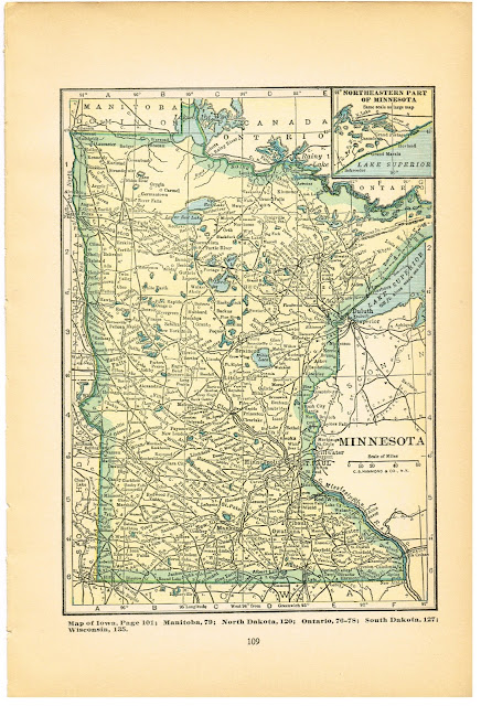
Here are several 1904 maps from The American Almanac Year-Book Encyclopaedia & Atlas.
I was thrilled to find these, and at 109 years old, they are in remarkably good condition.
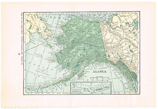
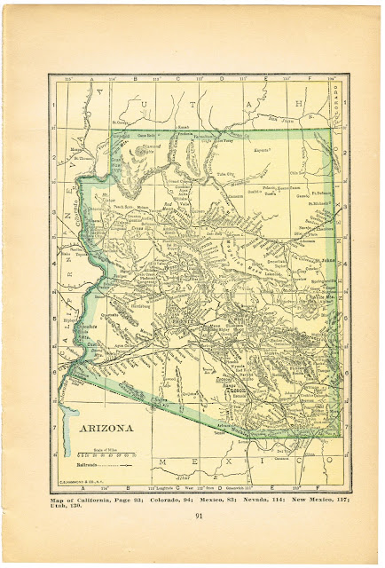
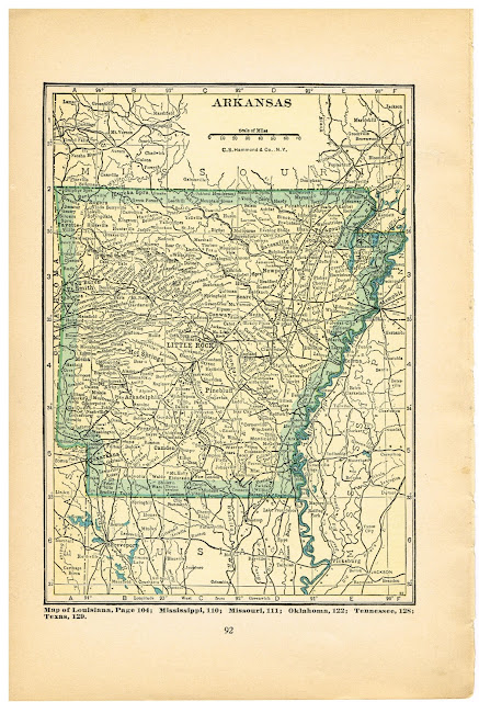
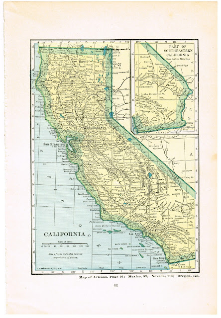
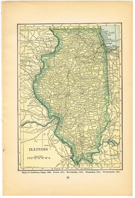
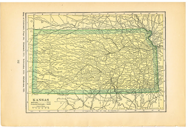
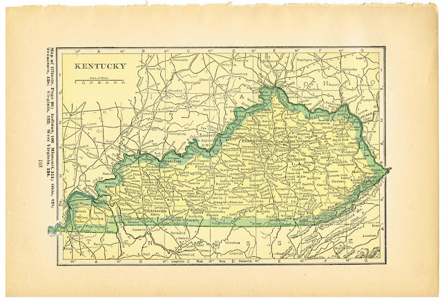
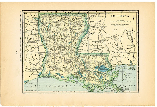
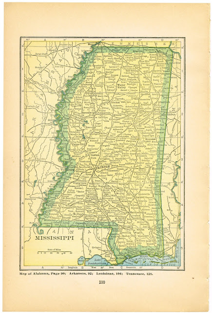
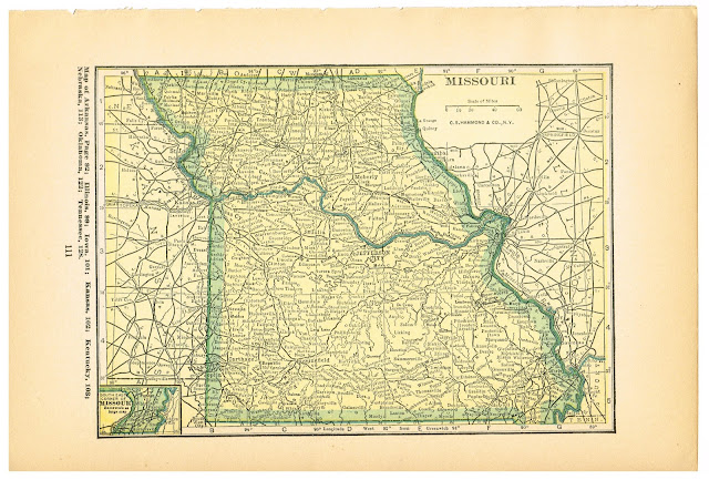
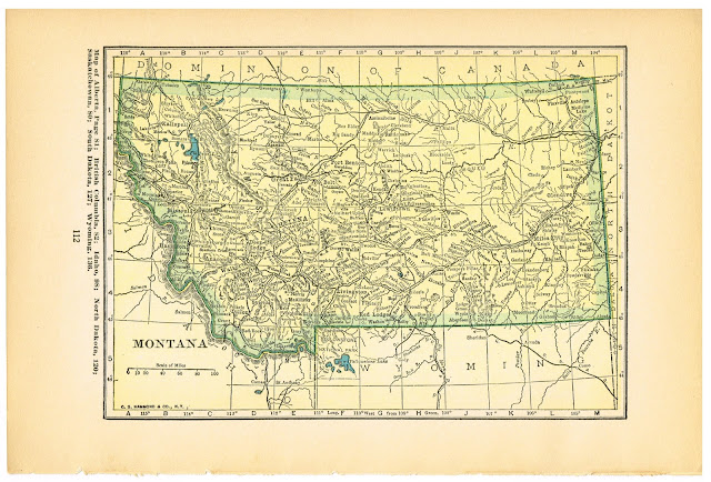
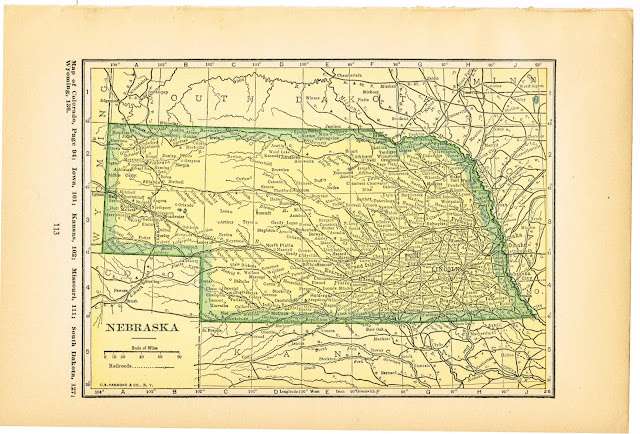
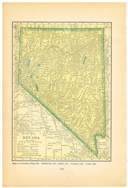
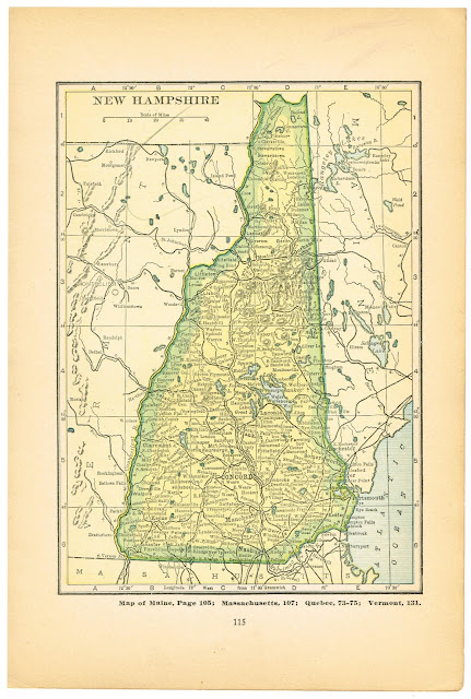
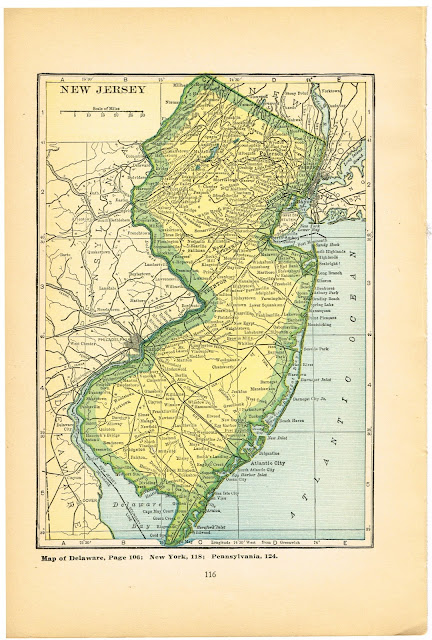
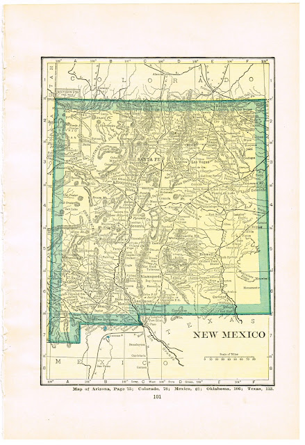
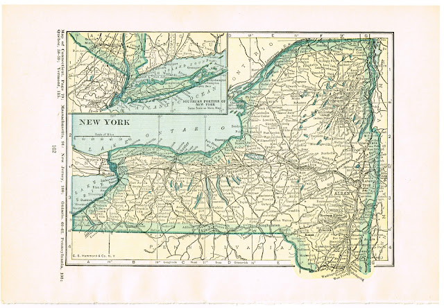
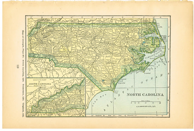
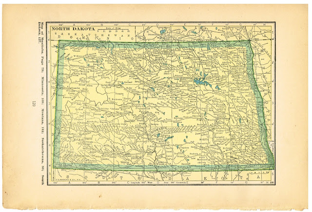
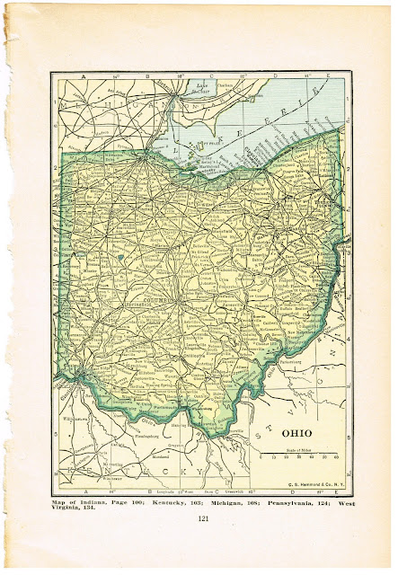
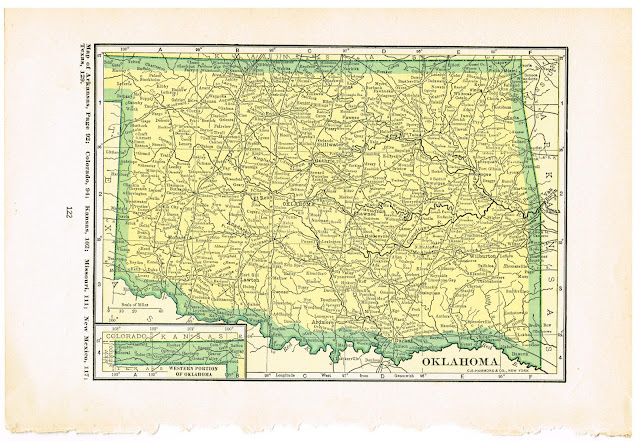
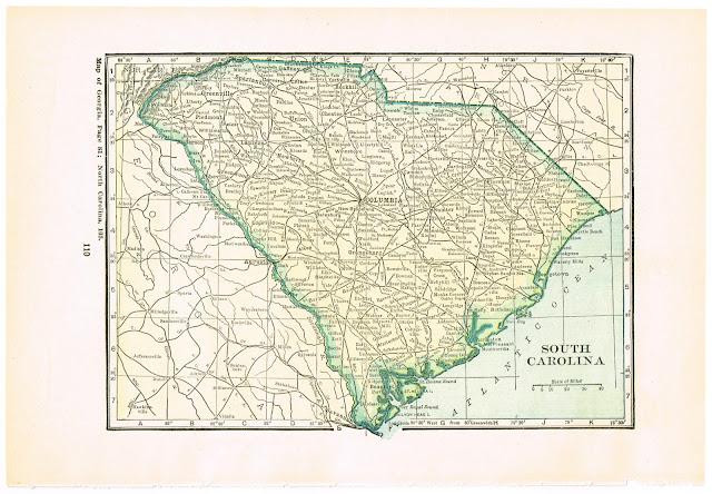
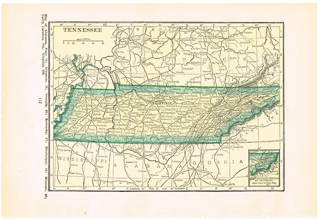
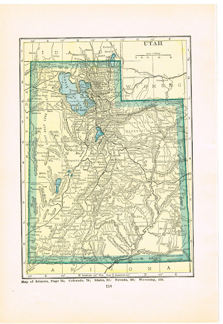
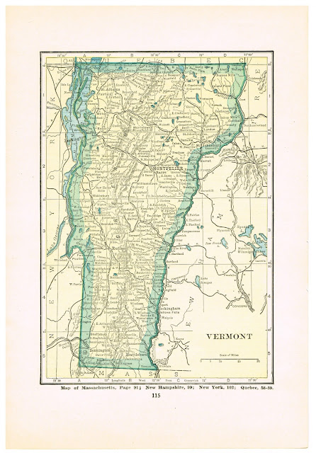
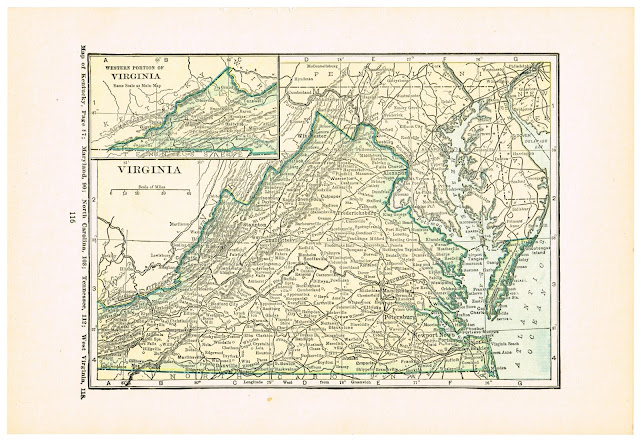
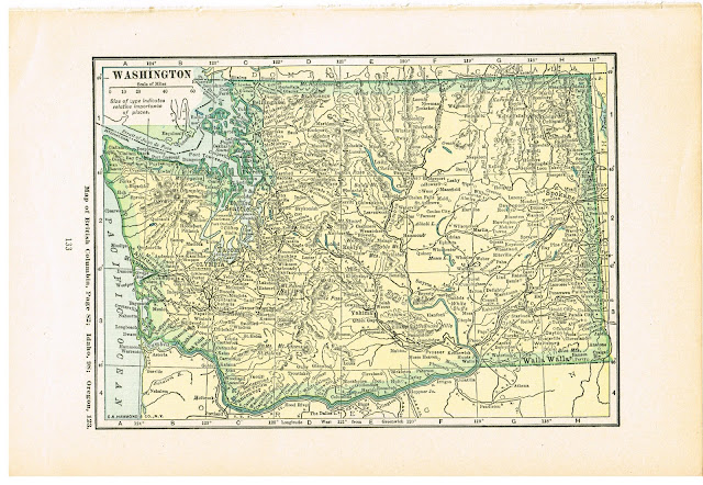
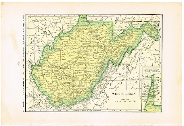
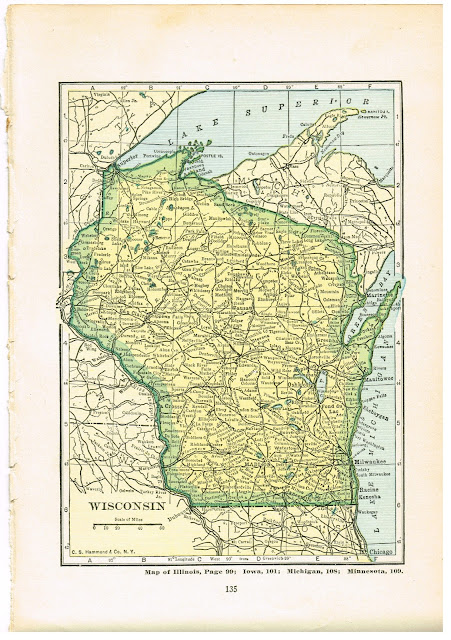
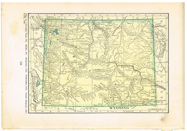
Now for the 50 states – oh boy! These are all early 1920’s maps. The aging the pages show varies, depending on which of my 1920’s atlases I scanned.
In alphabetical order – Here we go!
First, a 2-page map of the whole US.
(Delaware with Maryland)
(My apologies, but Hawaii was not available in these 1920’s atlases, so here is a 1911 version of it, but in a different color tone.
(Maryland with Delaware)
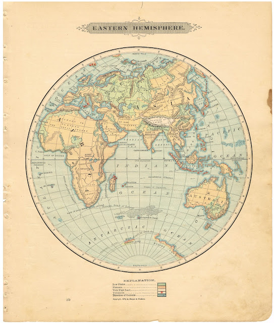
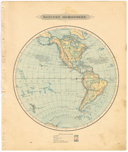
These next 7 images came from an 1881 Geography school textbook and include the Eastern and Western hemispheres, which have been very popular as digital downloads in my online shop.


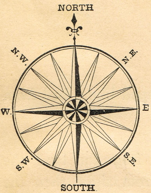
And last, here is a compass rose.
Well, I hope you found some that you enjoy!




















Beautiful graphics. Thanks for sharing.
Judy
these are great – thank you! I have a possible project coming up where I might need maps of several different states so this resource is ideal – perfect timing!
These are awesome. Thanks, Angie!
Thank you so much for taking the time to put these up for everyone! I am just thinking about a project where I will be taking apart an old dictionary and Mod-Podging the pages onto canvas board to paint on; this opens up another avenue of possibility!
Wow, these are fantastic! I love the ones that say ‘Dominion of Canada’. Now that’s old! Thanks for sharing, Angie!
Debbie 🙂
These are fabulous my friend! I love maps…the older the better! WOW!
Oh my! I love these. Thank you so much!